One platform.
Four ways in.
Every unit feeds the same asset model. Choose the vehicle for the geometry; the data, the defects and the reports come out identical — which is the point.
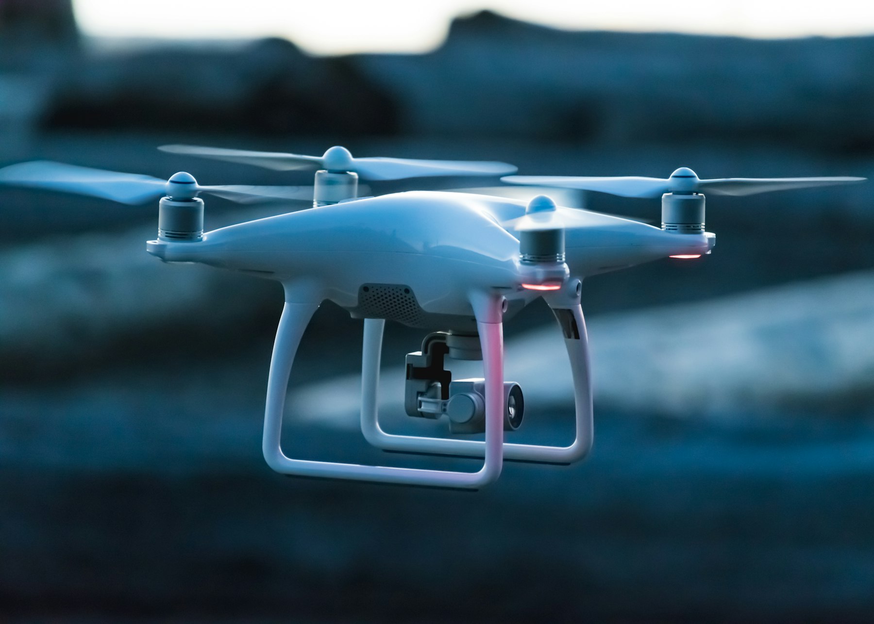 SYS.01 · A-7 AERIAL
A-7: the tower reader.
Fifty-two minutes aloft, millimetre ground-sample distance, and flight plans generated straight from the asset model. Blades, towers, facades and flare stacks — surveyed while your crew drinks coffee at a safe and reasonable altitude of zero metres.
- Endurance
- 52 min / swap
- Wind limit
- 18 m/s
- Payload
- RGB 61 MP · Thermal · LiDAR
C-2: steel at zero airspeed.
A magnetic-adhesion crawler that walks tank walls, ship hulls and bridge box girders with 240 kg of grip and an ultrasonic thickness probe. It crosses weld seams — ask us how many prototypes that sentence cost.
- Adhesion
- Magnetic · 240 kg
- Probes
- UT thickness · HD visual
- Rating
- IP67 · ATEX zone 2
 SYS.02 · C-2 CRAWLER
 SYS.03 · M-1 MARINE
M-1: eyes below the waterline.
A tethered submersible that station-keeps to a decimetre in harbour current, images jackets and moorings through the murk with sonar-fused optics, and never needs a decompression stop.
- Depth rating
- 300 m
- Station-keep
- ±0.1 m
- Optics
- 4K low-lux + imaging sonar
KVANT OS: where pixels become work orders.
Every image from every unit lands in one geo-referenced model of your asset. Forty-one defect classes detected and ranked, findings pinned to the twin, work orders drafted for your CMMS — and a confusion matrix we publish quarterly, because trust is a specification too.
- Detection
- 41 classes · ranked
- Integrations
- API · SAP PM · Maximo
- Hosting
- EU cloud or on-prem
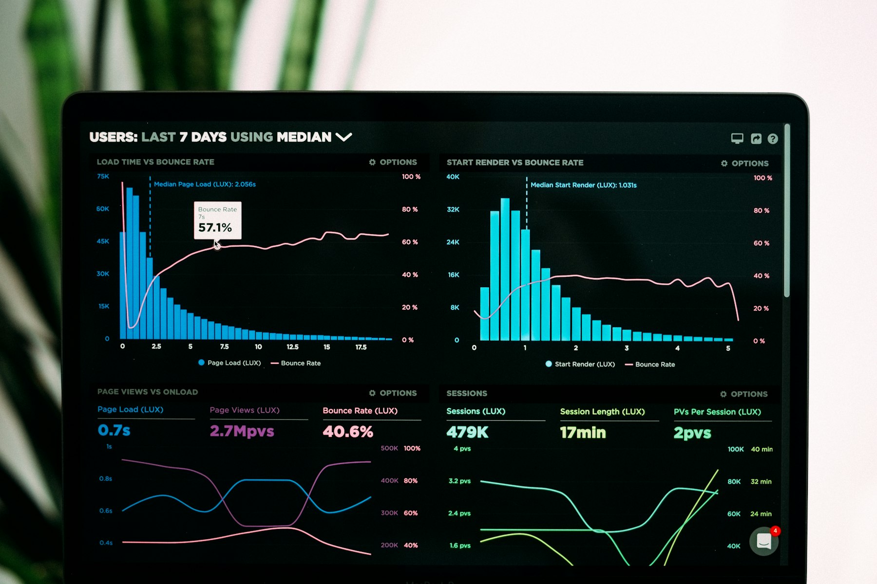 SYS.04 · KVANT OS
Pick by geometry.
| Parameter | A-7 Aerial | C-2 Crawler | M-1 Marine |
|---|---|---|---|
| Element | Air — blades, towers, facades | Steel — tanks, hulls, girders | Water — jackets, moorings, intakes |
| Endurance | 52 min per battery swap | 6 h tethered | 8 h tethered |
| Sensors | RGB 61 MP · thermal · LiDAR | UT thickness · HD visual | 4K low-lux · imaging sonar |
| Conditions | Wind ≤ 18 m/s | ATEX zone 2 · IP67 | Current ≤ 3 kn · 300 m |
| Crew | 2 (or your trained team) | 2 | 2 |
| Findings in | KVANT OS — 24 h to engineer-ready report, every unit, every time | ||
buy_or_service — do we own the units?
Either. Most clients start with inspection-as-a-service (our crews, per-asset pricing) and migrate to owned units with operator training once the volume justifies it. The data model transfers untouched.
regulatory — who handles flight permissions?
We do. KVANT holds SORA-based operational authorisations in 9 countries, including BVLOS corridors for linear assets. Offshore, our ops manual is already accepted by the major wind operators.
data_security — where do our images live?
EU-hosted by default, on-prem if your grid-security team insists — they usually do, and we like them for it. SOC 2 Type II, encryption in transit and at rest, and your data is never training data without a signed opt-in.
integration — will findings reach our CMMS?
SAP PM and Maximo connectors ship standard; everything else goes through the REST API. A finding becomes a draft work order with photos, coordinates and severity — your planners approve, not re-type.